Index of
/image/Naghshebardari
Name
Size
Parent Directory
-
Arc GIS.jpg
22K
CE201006_36.jpg
27K
DEM.jpg
31K
GIS/
-
Geodesy/
-
Gis1.jpg
21K
Land Civil 3d.jpg
36K
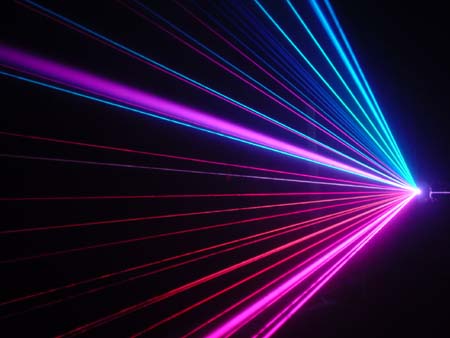
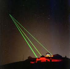
Laser.jpg
16K
Masir/
-
Nojoom/
-
Photogrametry/
-
Point_Cloud_cad_2010.jpg
31K
R-survey.jpg
63K
RS/
-
RS1.jpg
21K
RS2.jpg
21K
RemoteSensing_lg.jpg
47K
SU1.jpg
59K
SU2.jpg
53K
SU3.jpg
56K
SU4.jpg
43K
SU5.jpg
72K
SU6.jpg
67K
Software/
-
Su7.jpg
35K
TPS1200_Schnittz.jpg
45K
Zeiss-C4_large.jpg
32K
amigh.jpg
55K
aprojerah.jpg
45K
asbuilt.jpg
58K
c3D.jpg
45K
columbus.jpg
57K
construction-surveying.jpg
44K
economic.jpg
46K
geodesy the concept.jpg
15K
geomatic1.jpg
18K
gis-teh.jpg
35K
gis1-1.gif
20K
gis1-2.jpg
26K
gis1.gif
20K
gis2-1.jpg
29K
gis3-1.jpg
137K
gis3-2.gif
41K
gps j.jpg
23K
gradprofile3_pic2.jpg
67K
hydro.jpg
42K
image0011.jpg
29K
jabari sabegh.jpg
51K
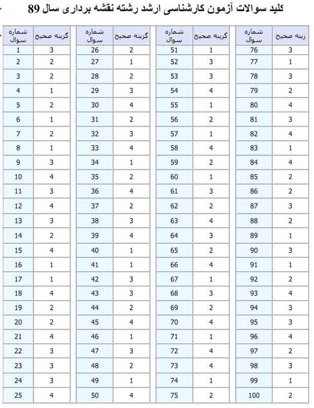
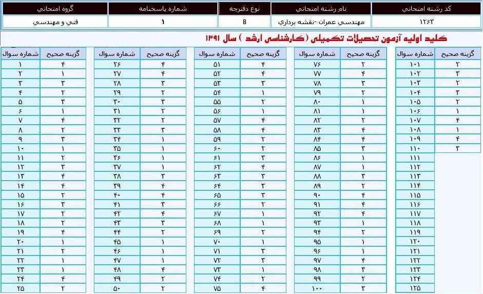
kelid89.jpg
64K
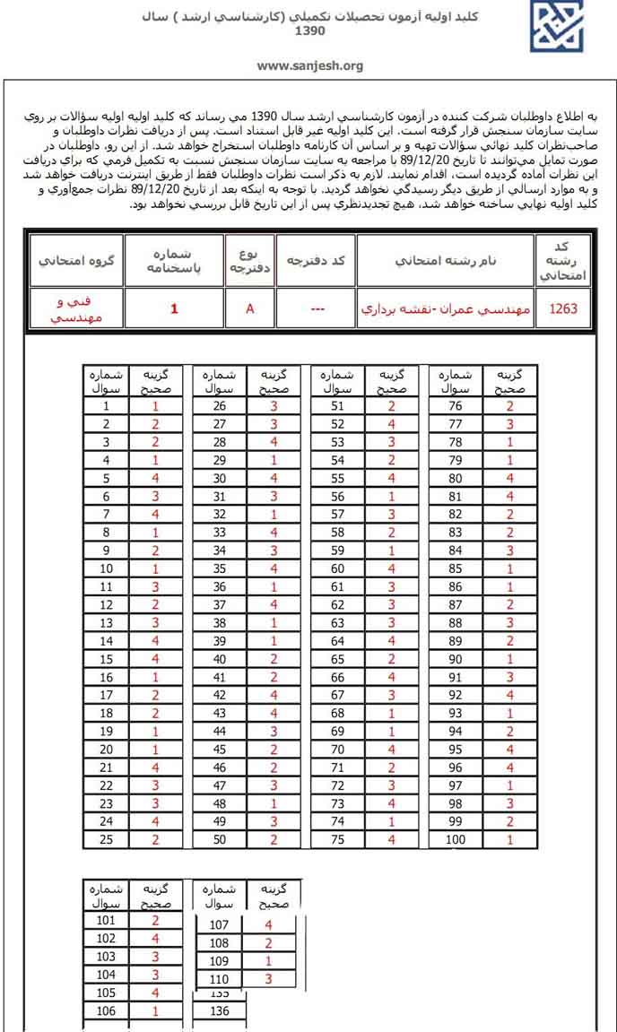
kelid90.jpg
100K
kelid91.jpg
110K
laser1.jpg
23K
laser2.jpg
4.4K
laser3.jpg
17K
lidar1.jpg
34K
lidar2.jpg
39K
military-survey.jpg
55K
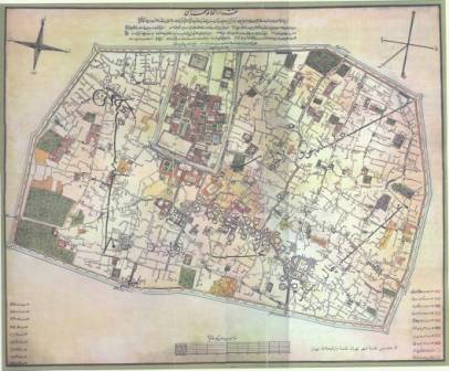
naghshe1.jpg
17K
navar.gif
4.4K
photo-1.jpg
29K
photogrametry1.jpg
22K
physical.jpg
40K
poster.jpg
99K
projector.jpg
40K
slides/
-
survey.jpg
33K
surveyors-history.jpg
84K
tuunle.jpg
29K
weblogheader.jpg
41K
workstation.jpg
49K
![[DIR]](http://img.persiangig.com/img/in/back.gif)
![[ ]](http://img.persiangig.com/img/in/jpg.gif)
![[DIR]](http://img.persiangig.com/img/in/folder.gif)
![[ ]](http://img.persiangig.com/img/in/gif.gif)